Fall 2017
Executive Summary
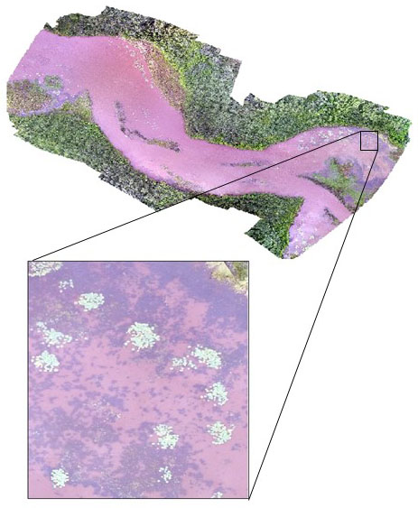
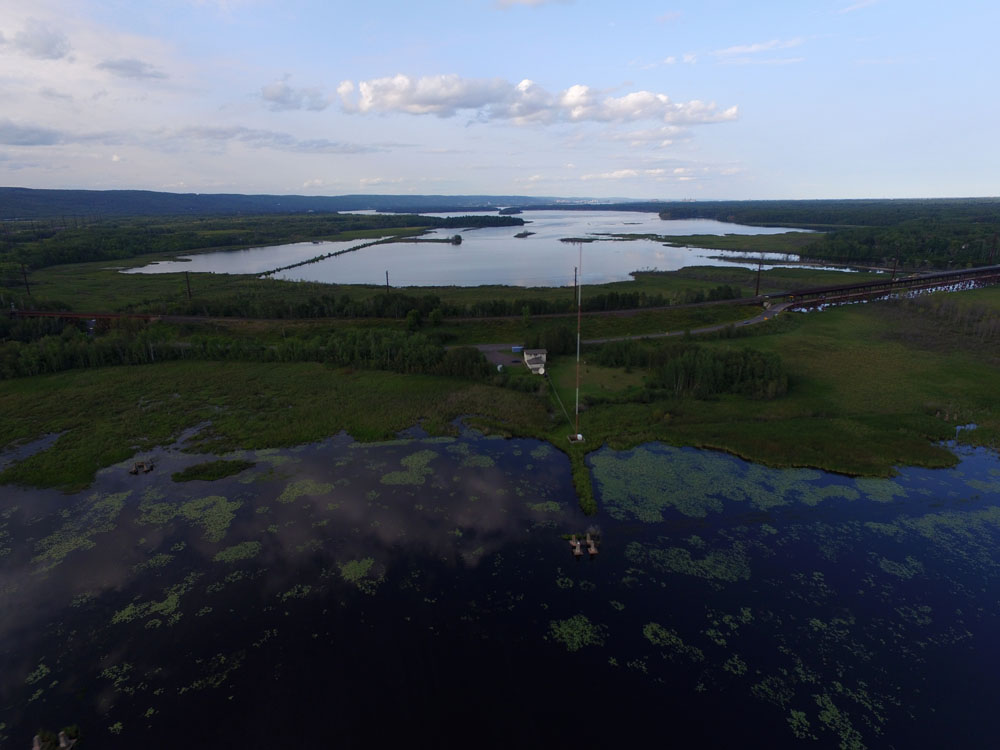
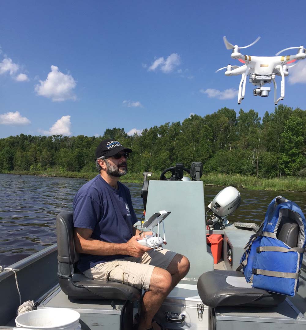
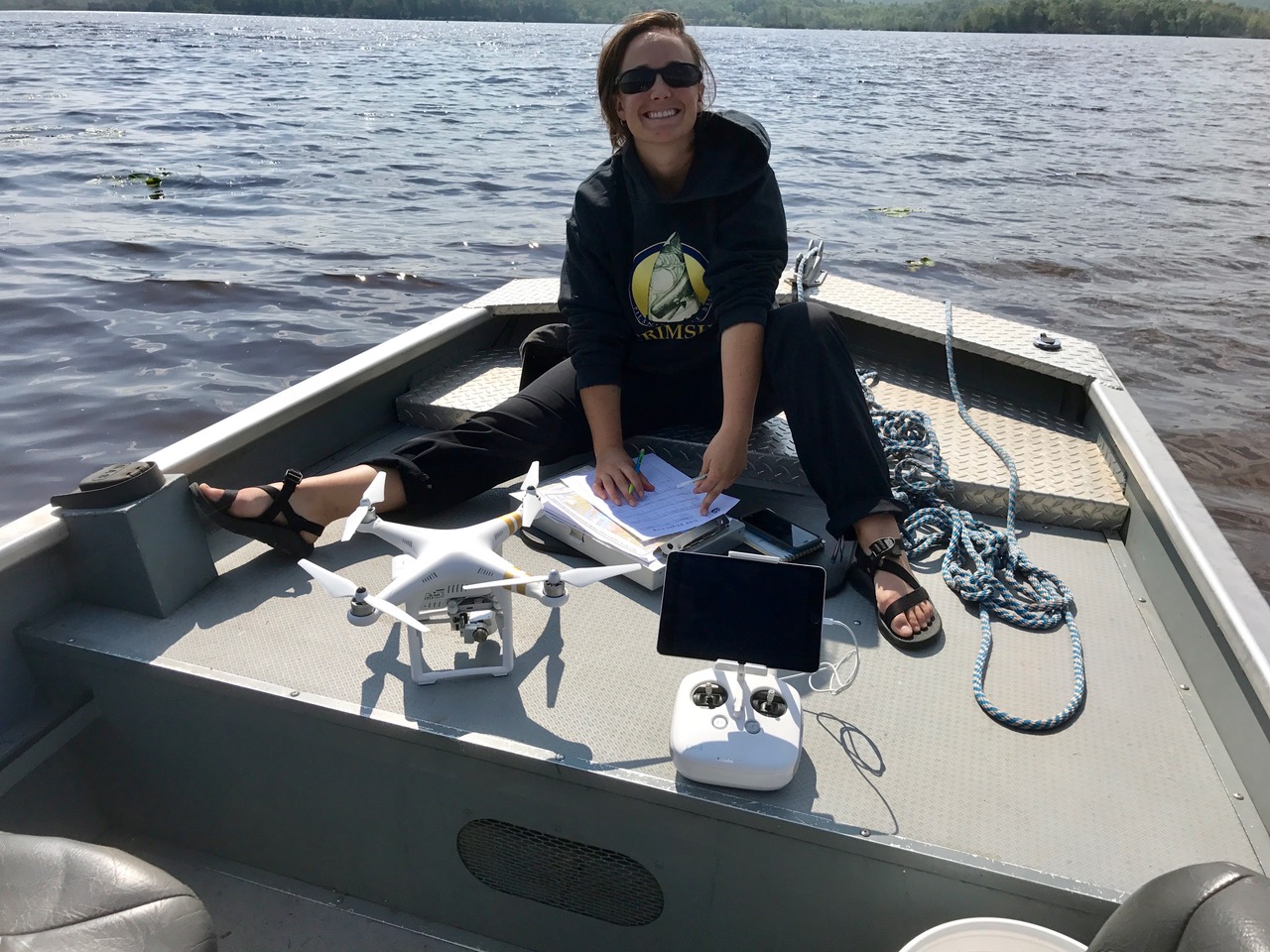
Earth Design Consultants, Inc. (EDC) are using their fleet of Unmanned Aerial Vehicles (UAVs) to conduct a feasibility study of this non-invasive survey technique in the St. Louis River—an important tributary to Lake Superior. Often occurring as floating vegetation mats or in deep, mucky soils, fringe wetlands of the St. Louis River are often difficult to access and sample. The EDC, Inc. team used UAVs to map important wetland plant communities in order to assess a variety of datasets available to them.
Project Description
These data sets include quantifying build-up of wood debris from the region’s historic logging industry, assessing invasive species introductions, and measuring the degradation of important resources such as wild rice.
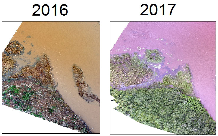
Recognizing a number of monitoring interests, the EDC, Inc. team mapped over 1031 acres and concluded that they have the ability to access distant floating, leaved aquatic beds at varying resolutions, estimate wood accumulation, classify land cover types, and identify specific plant communities such as the invasive Purple Loosestrife, Yellow Iris, and Narrow Leaved Cattails, as well as native wild rice. The team also identified the ability to develop chronosequences using historic imagery for restoration projects, changing water levels, or compilation shoreline inventories.