Why Choose Us?
GIS and remote sensing have been mainstays of Earth Design Consultants, Inc. projects since the early 1990s.
We have a strong track record of successfully completing projects within a given deadline, and pride ourselves on our ability to work closely with clients to ensure that our products meet their expectations. We specialize in the use of traditional ecological methods as well as new and emerging technologies.
Our Specialties
We assemble teams of highly trained and experienced scientists and specialists. Our senior scientists have 10-25 years of experience in their fields of expertise.
WATER QUALITY ASSESSMENT
We provide detailed assessments of water quality (nutrient concentrations and limitation, dissolved oxygen, bioindicators, and primary production) for lakes and streams.
INVASIVE SPECIES SURVEYS AND CONTROL
Our scientists are experienced in evaluating the effectiveness of biocontrol agents in a variety of different aquatic and wetland settings.
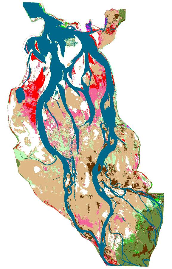
HABITAT MAPPING
We use Geographic Information Systems, field surveys, and Remote Sensing (aerial photography, and multi- and hyperspectral images) to produce spatial data sets describing the location and distribution of biological communities.
SPATIAL ANALYSIS & ASSESSMENT OF WATERSHEDS & WETLANDS
We collect data and use a variety of ecological approaches to examine patterns in the abundance and distribution of organisms and the factors that influence these patterns.
SYSTEMS MODELING & RISK ASSESSMENT
We work with stakeholders to better manage our natural resources. We develop Systems Models that identify valued resources and the processes that affect those resources.
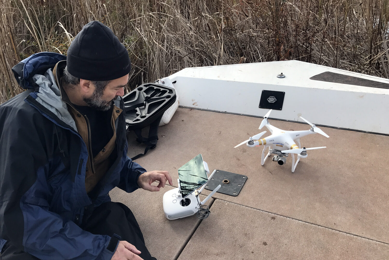
AERIAL PHOTOGRAPHY AND VIDEOGRAPHY
We now have an unmanned aerial vehicle (UAV) in our repertoire of specialty equipment. We currently operate under part 107 of the Federal Aviation Regulations.
Aerial Photography and Videography
Our pilots are also scientists and are fully licensed by the FAA.
We enjoy being a small firm that can focus our attention and resources on our client’s needs.

Aerial Photography and Videography
We have unmanned aerial vehicles (UAV) in our repertoire of specialty equipment. We currently operate under part 107 of the Federal Aviation Regulations.
UAV Camera Resolution
Video: 1080 HD and 4K digital video
Photo: 12 MP HD camera
High Spatial Resolution Images (2-5 cm/pixel)

Our Products Include
Oblique aerial photographs and 4K video
Professional photo and video editing
Photo mosaicing
Spatially referenced photo mosaics
Elevation mapping