Your data your way
For the past 22 years, EDC, Inc. has supported organizations just like yours to develop spatial solutions to their natural resource management questions.
Earth Design Consultants, Inc. is offering a limited number of rolling-contracts that support a variety of your agency’s GIS needs.
As an affordable alternative to developing an in-house GIS department, EDC can help you plan, design and build reliable GIS datasets to reach YOUR natural resource management goals and maximize the value of your geospatial data investments.
We understand that you need access to Geographic Information Systems but do not always have the time, energy, or funding to hire high quality spatial analysts or to purchase GIS equipment.
We are offering three levels of assistance that allow us to work with you to find a plan that best fits your needs without overspending on a full-time GIS department.
Each of our plans offers exceptional service, discounted rates, and quick turnaround! Please contact us for more information!
Scalable Services
Depending on your needs, we can assist you with data creation, collection, or analysis.
Although we are not affiliated with any particular GIS software developer, we are available to answer your questions or help you complete your own data development or analysis.
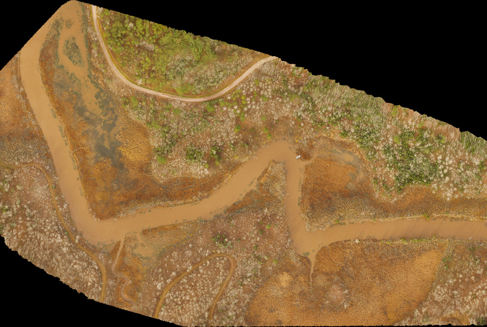
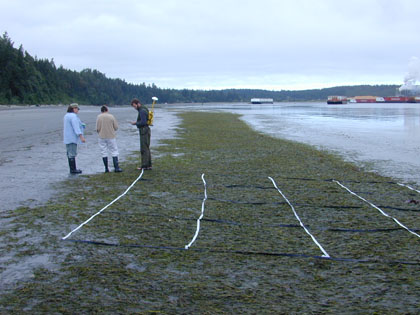
We are experienced in spatial data collection and offer sub-meter GPS and Unmanned Aerial Vehicle data collection services.
We can train your team or provide these services for you (NOTE: additional fees may apply for equipment use).
Services Available
Image acquisition and classification
Introduction to GIS
Building geodatabases
Spatial analysis and map output services
Spatial data sourcing and dataset conversion
On-site training in client datasets
Off-site support for bottlenecks in GIS projects
Development of GIS tools and software coding
Geographic data capture services
Geo-referencing services
Spatial database design and integration
Change detection
Slope aspect analysis
Land cover classification
Coastal ecosystem management
Forestry mapping
Agricultural mapping
Environmental impact assessment mapping
Watershed management
Spatial modeling
We offer three pricing plans
Bronze
16% Discounted Hourly Rate
Map Development
Statistical Summaries
Fast Product Turnaround
Prompt Cost Estimates
Email Support
Silver
25% Discounted Hourly Rate
In-house Spatial Data Audit and Analysis Recommendations
Online Showcase (Story Maps and Web Applications)
Data Distribution for Your Partners
Development of Data-Driven/ Interactive PDFs
Development of Presentation Products
Phone and Email Support (with 24hr response time)
Gold
36% Discounted Hourly Rate
Data Distribution for Partners and Stakeholders
Create Data Catalogs
Arc Online Support for Your Data
Applications and Custom Tool Development (Python and ArcPy)
Tailored Workshops/Trainings at Your Location