Read Some of Our Projects
We have made some of our finished projects available here to read online.

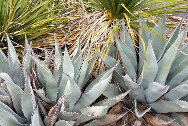
Feasibility of mapping plant communities and species of interest along the lower St. Louis River


Littoral Zone and Habitat Mapping in a Wisconsin Hydroelectric Reservoir

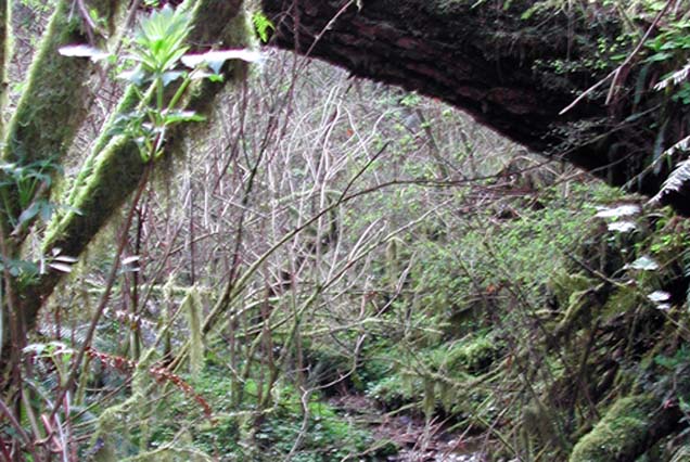
Monitoring Stream Invertebrates in a Restored Urban Stream near Tryon Ck, Portland, OR
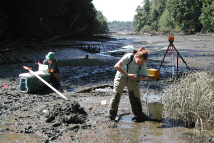
Assist Confederated Tribes of Siletz Indians develop a 319 Non-Point Source Assessment and Management Plan for the Siletz River Basin

South Slough NERR LiDAR and Digital Imagery


Phase I: Use of Hyperspectral Imagery to Map Estuarine Features along the Straits of Juan de Fuca

Tillamook Bay National Estuary Project, Garibaldi, OR: Eelgrass mapping of Tillamook Bay using multispectral airborne imaging.

Tillamook Bay National Estuary Project, Garibaldi, OR: Landscape change analysis for the Tillamook Bay watershed using satellite imagery (PDF format Part 1, Part 2, Part 3 and Part 4)

Watershed/Catchment Classification Project with an emphasis on Salmon and Lamprey populations (Siletz Tribe): Using GIS to establish a monitoring framework

Spatial Analysis of San Juan County, WA, Adamus Resource Assessment, Inc. (ARA)


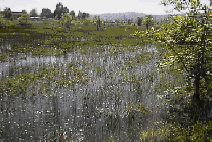
Modeling Wetlands in Clark Co. Washington; partner with Virgil-Agrimis, Inc.

Suislaw Watershed Assessment: Assessing the Estuary (in Cooperation with EcoTrust)


Analysis of Hyperspectral Imagery: Eastern Hood Canal Floating Bridge Project. (WA)

Landscape characterization of selected wetland sampling sites in the Willamette Valley, Adamus Resource Assessment, Inc. (ARA)
Oregon Breeding Bird Atlas (Map Support), Adamus Resource Assessment, Inc. (ARA)


Effects of Biocontrol of Purple Loosestrife (Lythrum salicaria) in the Lower Columbia River


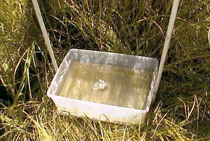
Monitoring Invertebrates and Plant Communities in Restored Tidal Wetlands in the Yaquina Estuary
Benthic Invertebrates from South Puget Sound Subestuaries(component of Deschutes Estuary Feasibility Study)

Monitoring Invertebrates Associated with Large Wood Placement at the South Slough NERR


Assessment of Water Quality Data along Lower Pony Creek


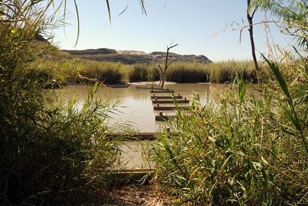
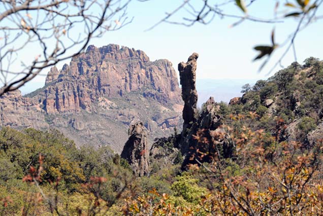
Establishing a nutria impact monitoring program on wetland vegetation in Big Bend National Park, funding is from Big Bend Natural History Association

The Nature Conservancy, Texas Chapter. The effect of prescribed burning on non-target insect assemblages.
Earthwatch Research Trips to Big Bend National Park (Spring Ecosystems & Wetland Restoration) and to Churchill, Manitoba (Arctic Ecology Course)