Why Fly With US?
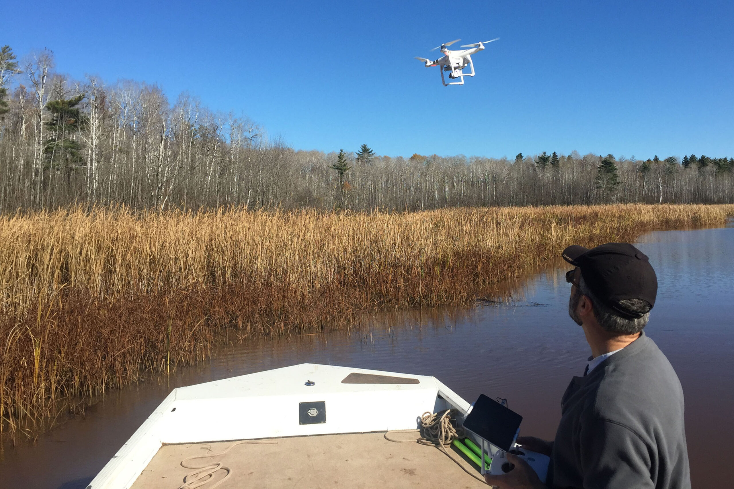
Remote sensing and GIS have been mainstays of Earth Design Consultants, Inc. since the company was formed in the mid 1990s. We have successfully used aerial photography, airborne imaging spectrometers, and satellite images to assess subtidal, wetland, and forested vegetation. We are extremely pleased to add aerial images, captured by low altitude UAVs, to our toolbox.
Our UAV pilots are fully compliant with FAA regulations. Most of our pilots also hold Private Pilot certificates.
Use of UAVs allow precise control of image acquisition with respect to flood stage, tide, cloud cover, and sun angle.
We understand that equipment can and does fail. We mobilize our field teams with backup equipment to make sure that we get your data the first time.
Remotely Sensed Data are Ideal for These Applications
Habitat Mapping
Shoreline Assessment & Inventory
Large Woody Debris Placement & Monitoring
Invasive Species Mapping
Natural Resource Inventories
Wetland Mapping
Stream Restoration Monitoring
Flood Assessment
Seagrass and Eelgrass Mapping
Seasonal Pond and Vernal Pools
Personal Property Management
UAV Camera Resolution
Video: 1080 HD and 4K digital video
Photo: 12MP HD camera
High Spatial Resolution Images (2 to 5 cm / pixel)
Our products include
Oblique aerial photographs and 4K video
Professional digital editing
Photo mosaicing
Spatially referenced photo mosaics
Elevation mapping
3D Mapping