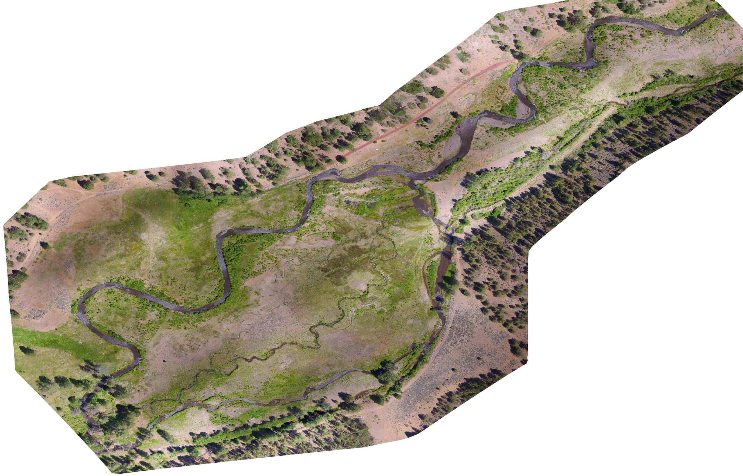
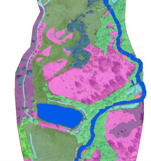
UAV imagery acquired July 2017: Vegetation land cover classification is currently being completed.
Summer 2017
Project Description
Earth Design Consultants, Inc. has contracted with the Upper Deschutes Watershed Council to develop a series of high resolution aerial photographs and habitat maps of approximately 21 mi of Whychus Creek near Sisters, OR. The Whychus Creek watershed historically provided some of the best spawning, rearing and/or migration habitat for redband trout, spring Chinook salmon and summer steelhead upstream of the Pelton Round Butte dams on the Deschutes River in Central Oregon. Watershed Council partners are currently implementing an anadromous fish reintroduction program to bring fish back to this watershed. The long-term goal of this project is to achieve self-sustaining salmon and steelhead populations above the Pelton Round Butte dams.
Restoration includes:
Since sufficient hydrologic conditions are required to support thriving riparian vegetation, the Watershed Council and its Partners view the extent of floodplain riparian communities as an indicator of floodplain connectivity. By mapping the change as restoration proceeds along the stream corridor, the Council will track progress as dry and agricultural stream reaches are hydrologically reconnected to the stream.
Imagery
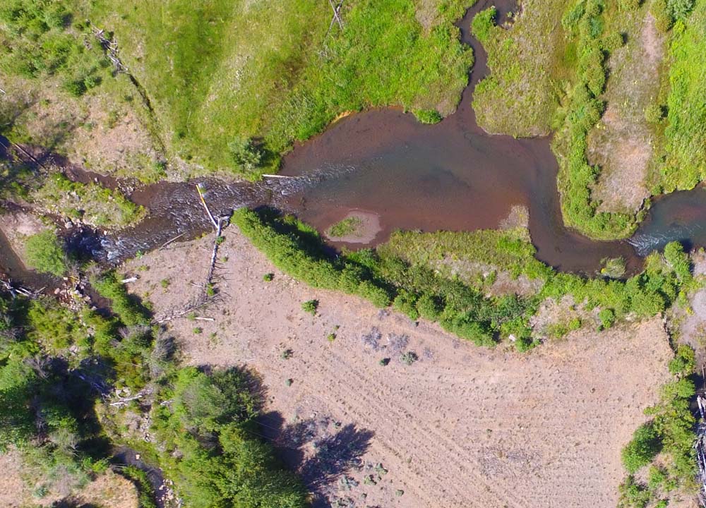
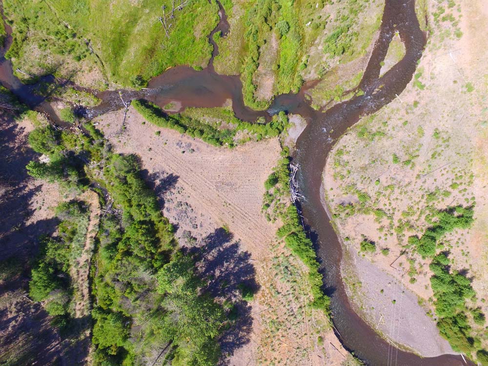
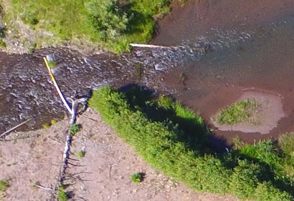
Earth Design Consultants flew 31 UAV missions in order to map the targeted 21 miles of Whychus Creek floodplain. Data are currently being analyzed. The following images are one of the sections being mapped.
