REPORT LINK
Fall 2016
Executive Summary
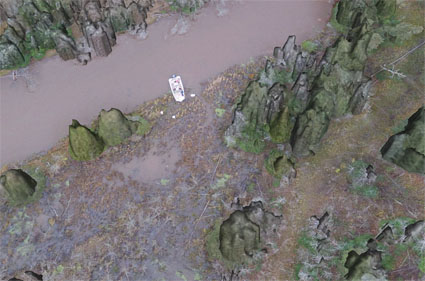
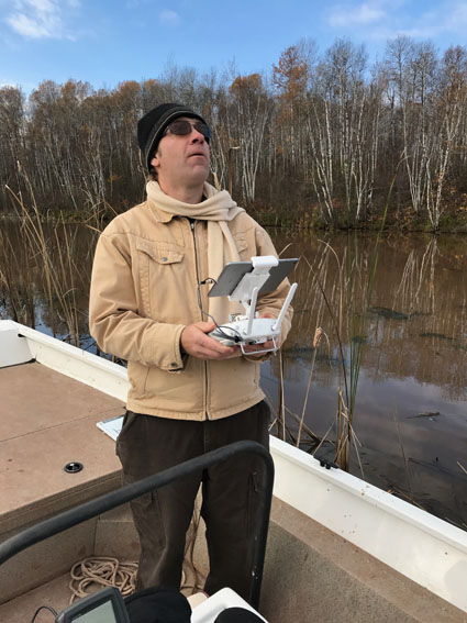
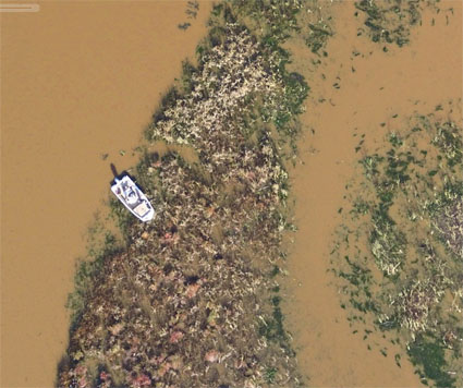
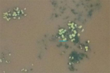
EDC, Inc. scientists partnered with Dr. Shon Schooler (University of Wisconsin- Superior) to map vegetation at the Lake Superior National Estuarine Research Reserve’s Sentinel Site on the Pokegama River. Dr. Schooler is measuring plant communities at permanent vegetation monitoring plots established as part of NOAA’s Sentinel Site program. He expects the location of these communities to shift as lake levels change over time. We are using EDC’s UAV to collect high-resolution, spatially accurate imagery to map important features along this river corridor. We were also interested to see if UAV imagery could be used to identify and map ash trees along the riverbanks. Ash tree mortality is expected to increase as the emerald ash borer, an invasive beetle, moves into the area. Dr. Schooler is currently assessing the ecological consequences of this invasion.
Project Description
Data are currently being analyzed.

Approach
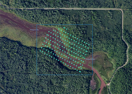
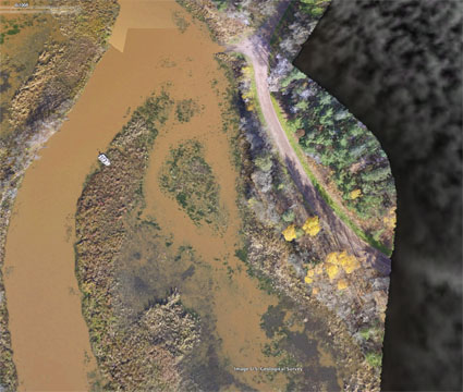
We were interested in collecting late season, leaf-off imagery along the Pokegama River. We operated the UAV at 200 ft and 300 ft AGL varying the image side- and overlap to obtain the best results. At 200 ft AGL, pixel size was 1.0in (2.54cm) and at 300 ft AGL it was 1.6 in (4.06 cm). We covered the study area with six UAV flights, each under 20 min long, that ranged in area from 5.73 ac (2.31ha) to 36.78 ac (14.88ha). Using the imagery alone (i.e., no ground control points were used) spatial accuracy (RMSE, Root Mean Squared Error) ranged from 1.6m (X=1.2m, Y= 0.9m, Z = 0.5m) to 2.5m (X=1.2 m, Y=1.7 m, Z = 1.4 m). We determined that the spatial error was acceptable and that vegetation mapping, using GIS, could proceed.
