Executive Summary
Throughout Oregon numerous watershed groups have completed GIS-based watershed assessments. Reports and digital products characterizing the watershed’s current condition have been delivered to these groups. The next step for watershed councils is to move beyond general watershed descriptions, to actually use GIS to select restoration and monitoring sites, and to develop strategies for incorporating new information (e.g., monitoring data) into these developing decision support systems.
However, many watershed council members are inexperienced in using their assembled GIS data to answer specific questions about their watersheds. In addition, many watershed council members do not want to make the time investment necessary to be trained in GIS software use, yet they want to take advantage of this management and planning tool.
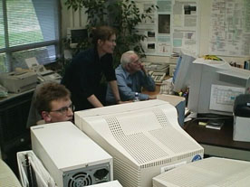
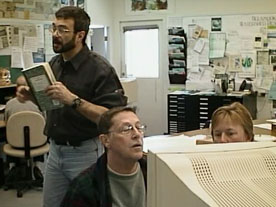
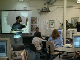
During the Spring of 2001, we conducted workshops, funded by the Oregon Watershed Enhancement Board, for two Watershed Councils in Oregon to teach Watershed Council Members to use their GIS data more effectively. We taught Watershed Council Members to conceptualize using GIS and gave them experience in running specific queries on their own compiled spatial datasets. We used a hands-on approach to allow watershed council members to become familiar with the data collected in their watershed, encouraged them to ‘think spatially’, and provided them with useful products derived from their watershed analysis. For each council, the workshop was an initial step along the path of using GIS to full advantage in understanding and managing watershed resources.